Land Surveying, Laser Scanning, Aerial Mapping
Boundary Surveys
Topographic Surveys
Subdivision Surveys
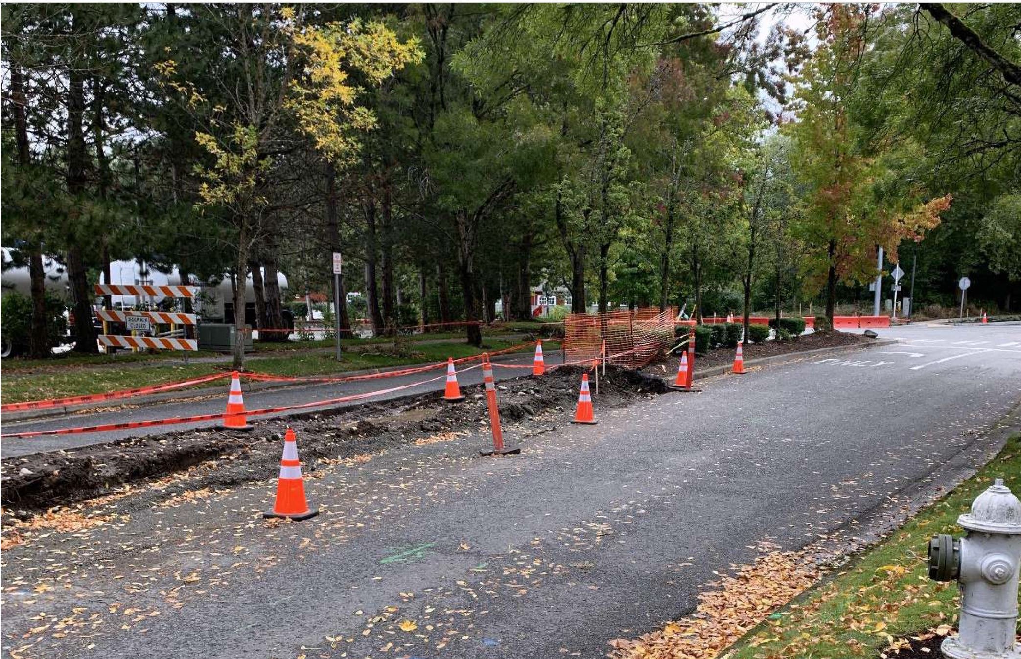
Construction Surveys
As-Built and Certification
Condominium Surveys
ALTA/ACSM surveys
Flood certification surveys
BPs surveys
Boundary line adjustment
Critical area survey
Aerial Mapping
LiDAR (light and distance ranging) Mapping
Aerial Videography
FAA Commercially Licensed Drone Services
FAA Commercially Licensed, Insured and Experienced Drone Pilots
Record of survey maps
Right of way survey
Laser Scanning
Professional 3-D Modeling Services
High-Tech Laser Scanning
Construction Surveying & Staking
Aerial Mapping:
Using the latest state of the art commercial drone technology, Contour's staff are able to deliver highly accurate models for your project needs. Drone surveys of your project are conducted by FAA commercially licensed and insured land surveyors to operate small unmanned aerial systems. Our drone captures survey-grade images and data critical to the planning, design, construction and management process. It is a valuable tool that enhances accuracy, improves efficiency, and allows for greater oversight of your project.
Professional 3-D Modeling Services:
We utilize 3-D modeling technology to survey and map commercial development projects. We are a leading producer of grading models in the Pacific Northwest. And we continue to be at the forefront of the industry. All of our models are built to industry specs in implementing your specific criteria. The success of any land development project is greatly impacted by the use of 3-D modeling. Terrain modeling enables engineers to visualize the project site and brings to light any potential issues early in the planning phase. Identifying these conflicts prior to the commencement of construction can save you significantly in the long run. We provide complete and finely crafted digital terrain models as integral parts of compressing the schedule, and thereby the budget, of any commercial construction project.
Land Surveying Services:
Our experience with leading edge technology allows us to accurately and efficiently deliver superior land surveying results on time and within budget. Because our technicians are highly-trained, experienced and have access to state-of-the-art equipment, we’re able to maximize productivity and streamline project implementation. Our commitment to both value and accuracy ensures an efficient execution of every job.
High-Tech Laser Scanning Services:
Contour Engineering Surveying has a long history of successfully serving clients in and around the Puget Sound. It’s taken years of hard work to perfect our techniques and establish such an amazing reputation in the area. That’s why the specialists we employ have the training, knowledge and skills necessary to deliver consistently superior Puget Sound land surveying services. In addition to continuing to provide expert results, we’re committed to maintaining productive relationships with the businesses and communities we serve.
Construction Staking:
Our fleet of fully equipped mobile field offices enables our skilled crews to handle virtually any construction staking need, whether your project is commercial or residential. Responding to your needs quickly and efficiently is our top priority.